

Décarbonation : définition, pistes de réflexion et mise en œuvre
1 min
Level
Le Larousse définit la décarbonation comme « l'ensemble des actions (mesures et techniques) visant à réduire la consommation d'énergies fossiles ».
ESG / RSE
Secteurs d'activité
Le Larousse définit la décarbonation comme « l'ensemble des actions (mesures et techniques) visant à réduire la consommation d'énergies fossiles ».
La SBTi (Science-based Targets Initiative) est une initiative ayant vocation à accompagner les entreprises dans la réduction de leurs émissions de GES.

Le scope 1 couvre les émissions directes de l’entreprise, le scope 2 les émissions indirectes liées à l’énergie, et le scope 3 toutes les autres émissions.
La CSRD redéfinit en profondeur le reporting extra-financier en Europe : près de 15 000 entreprises sont désormais concernées par la directive.

Depuis l'entrée à la vigueur de la RE2020, le nombre de FDES a enregistré une hausse significative. Mais de quoi parle-t-on ?

La double matérialité, pilier de la CSRD, rend désormais indissociables les performances environnementales et financières d'une entreprise. Explications.
Nous protégeons vos données avec notre politique de confidentialité.

Derniers articles


Qu'est-ce que le règlement ESPR, et en quoi ce dernier constitue-t-il un formidable levier pour l'évolution de votre entreprise ? Greenly vous dit tout.
Pour simplifier, la batterie utilise un électrolyte solide (en polymère, en céramique ou en composite) pour faire circuler l'énergie entre leurs électrodes.

En 2026, le TOP 5 des meilleurs logiciels VSME est : 1.Greenly, 2.CONSUST FramesCube, 3.Diligent ESG, 4.Plan A et enfin 5.Daato.

En 2026, Les meilleurs logiciels pour se conformer aux normes IFRS sont : 1. Greenly ; 2. Workiva et 3. Persefoni.

Les concerts, comme tant d'autres événements, sont synonymes d'empreinte carbone. Ce qui ne signifie pas qu'ils ne peuvent pas se réinventer.
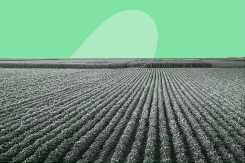
La proposition de loi Duplomb a émergé fin 2024, dans un contexte de tension extrême (qui n'avait rien d'inédit) au sein du secteur agricole.

L’éco-branding ne consiste pas simplement à apposer une feuille sur un logo ou de le décorer d’un fond vert, – c'est aussi remettre en question les pratiques.

Le risque de tsunami en Méditerranée est réel - quoique malheureusement méconnu. D'où l'importance de le comprendre et de se préparer.
Après épuration (élimination du soufre, de l’eau et du CO₂), le biogaz devient du biométhane, un gaz aux propriétés identiques à celles du gaz naturel.

Notre langage industriel est très complexe, mais la nature dit bien davantage avec moins de mots et une syntaxe plus simple (source : Cairn, 2018).